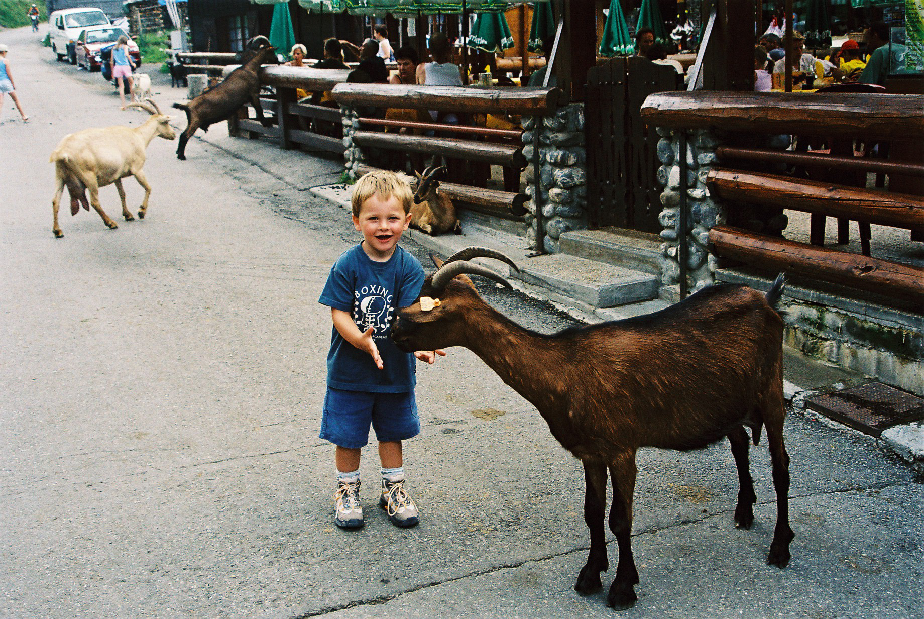
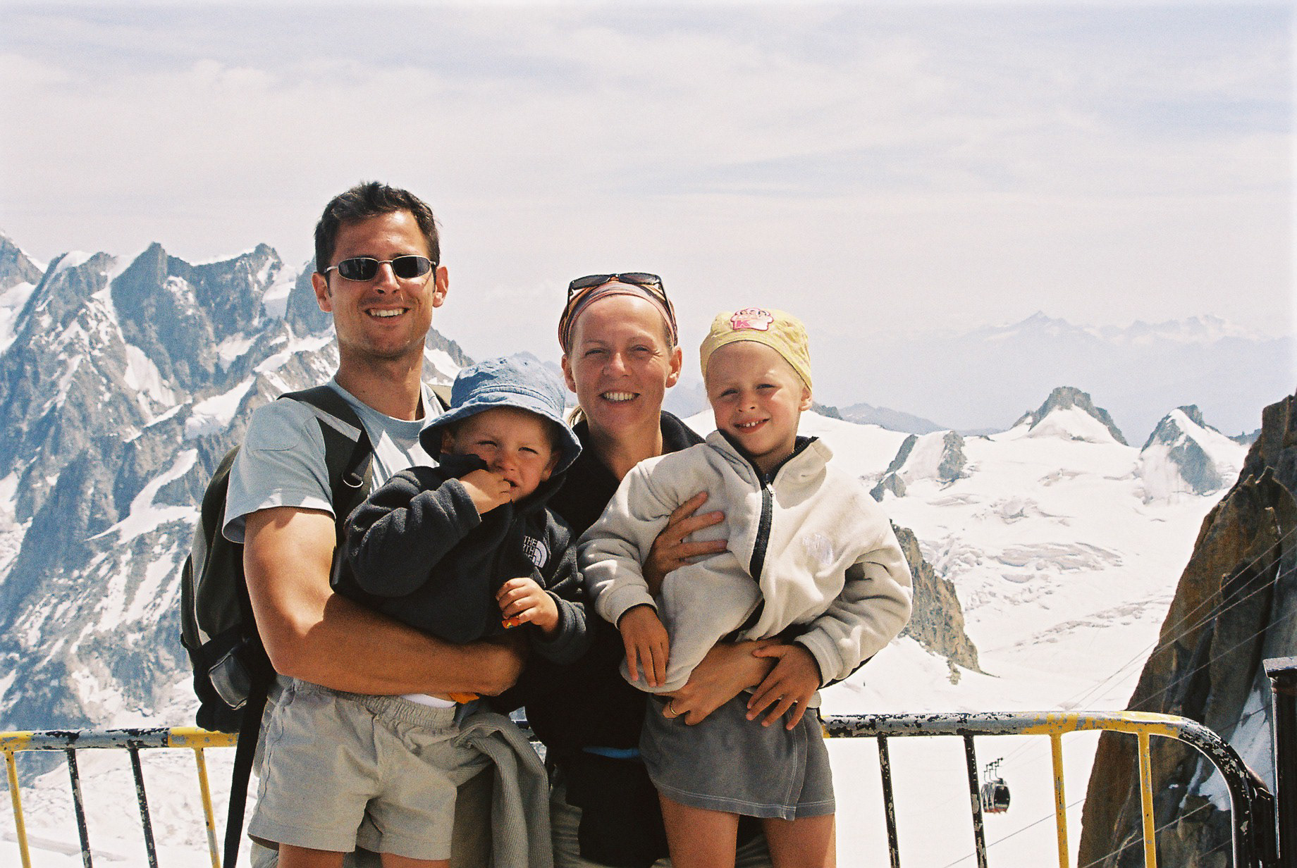
When I was young, I used to do these hikes with Mom and Dad. I was only 3 or 4 years old at the the time, so I don't remember that much of it.
august 4, 2004
During my teenage years, my sister and I refused going on these hiking trips. We thought they were boring and we had much better things to do. Looking back at the pictures I was astonished. I knew I wanted to go back.
While studying for my exams, I started planning a trip. I called up Hannes, who was living next to me in Ghent and is one of my best friends. I convinced him and a couple weeks later we departed.
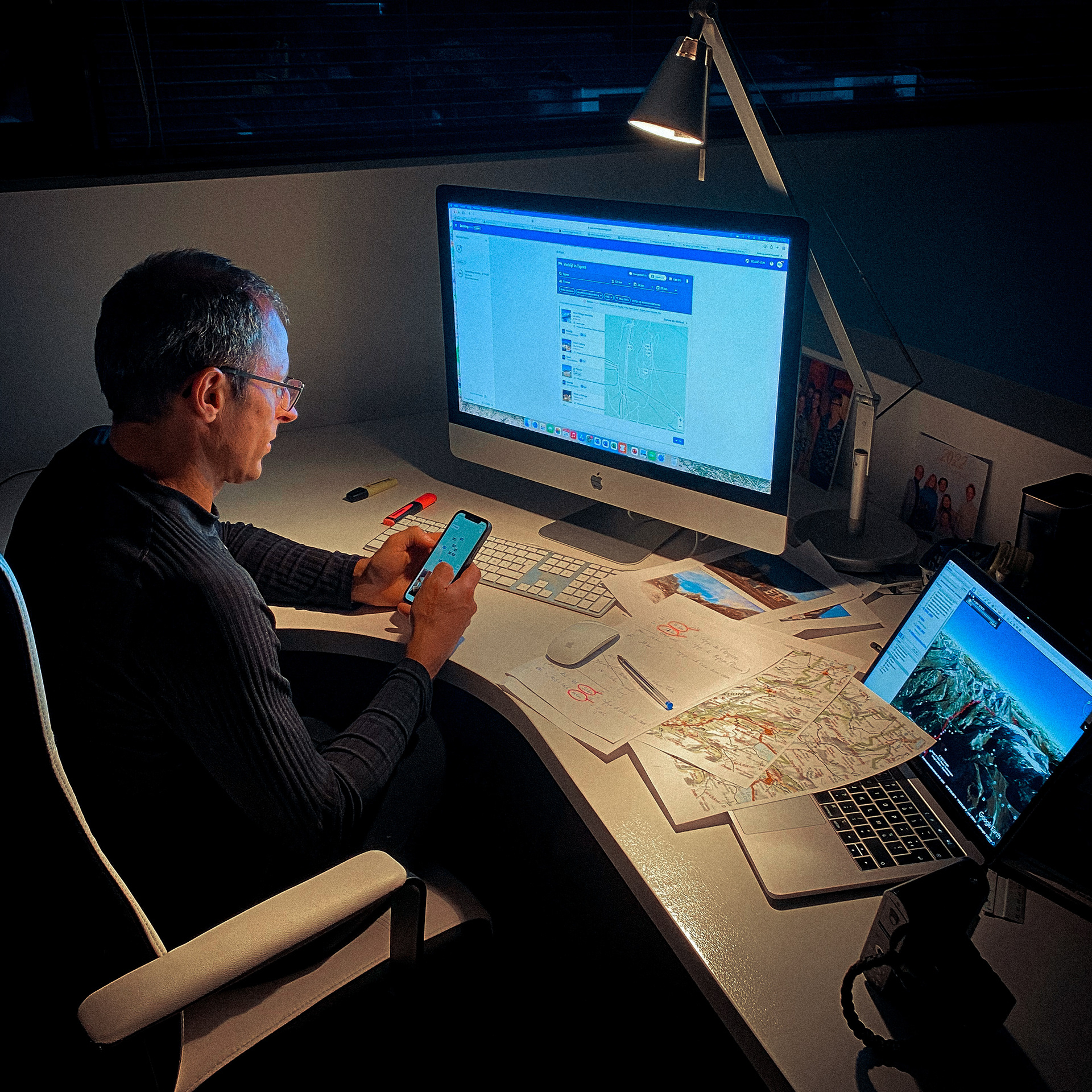
Preparing the route
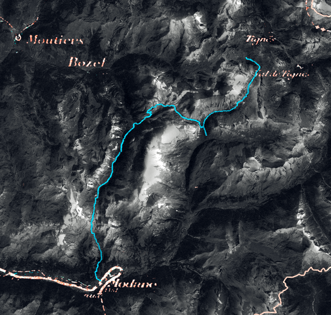
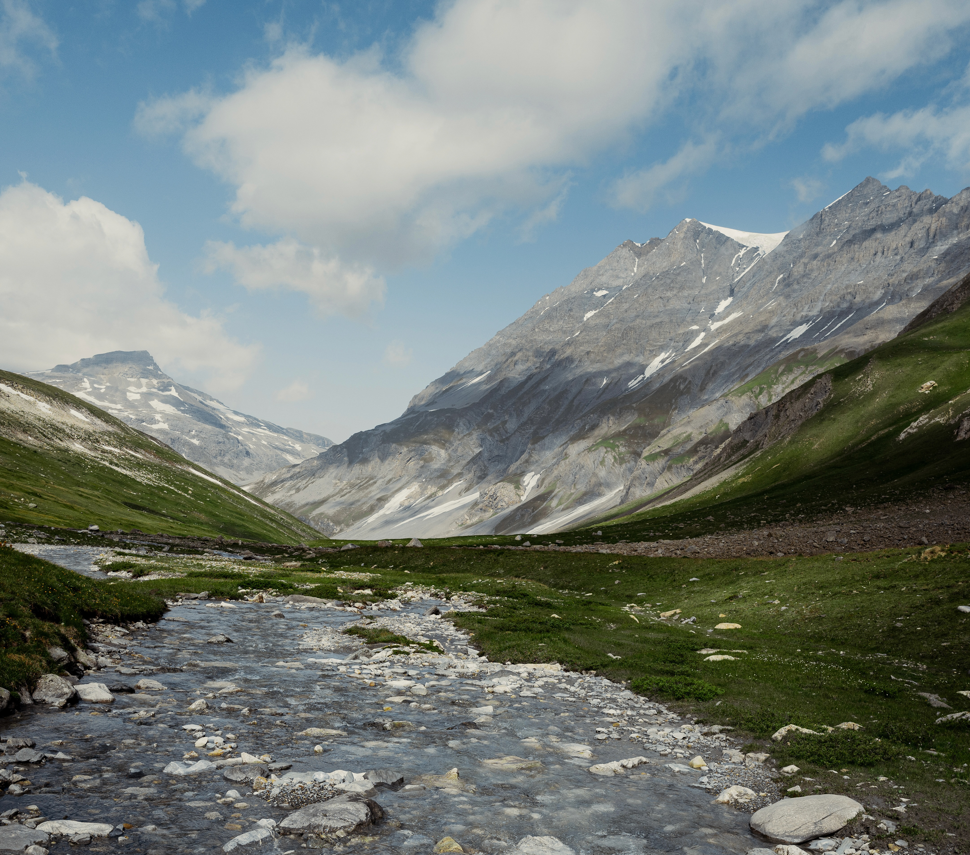
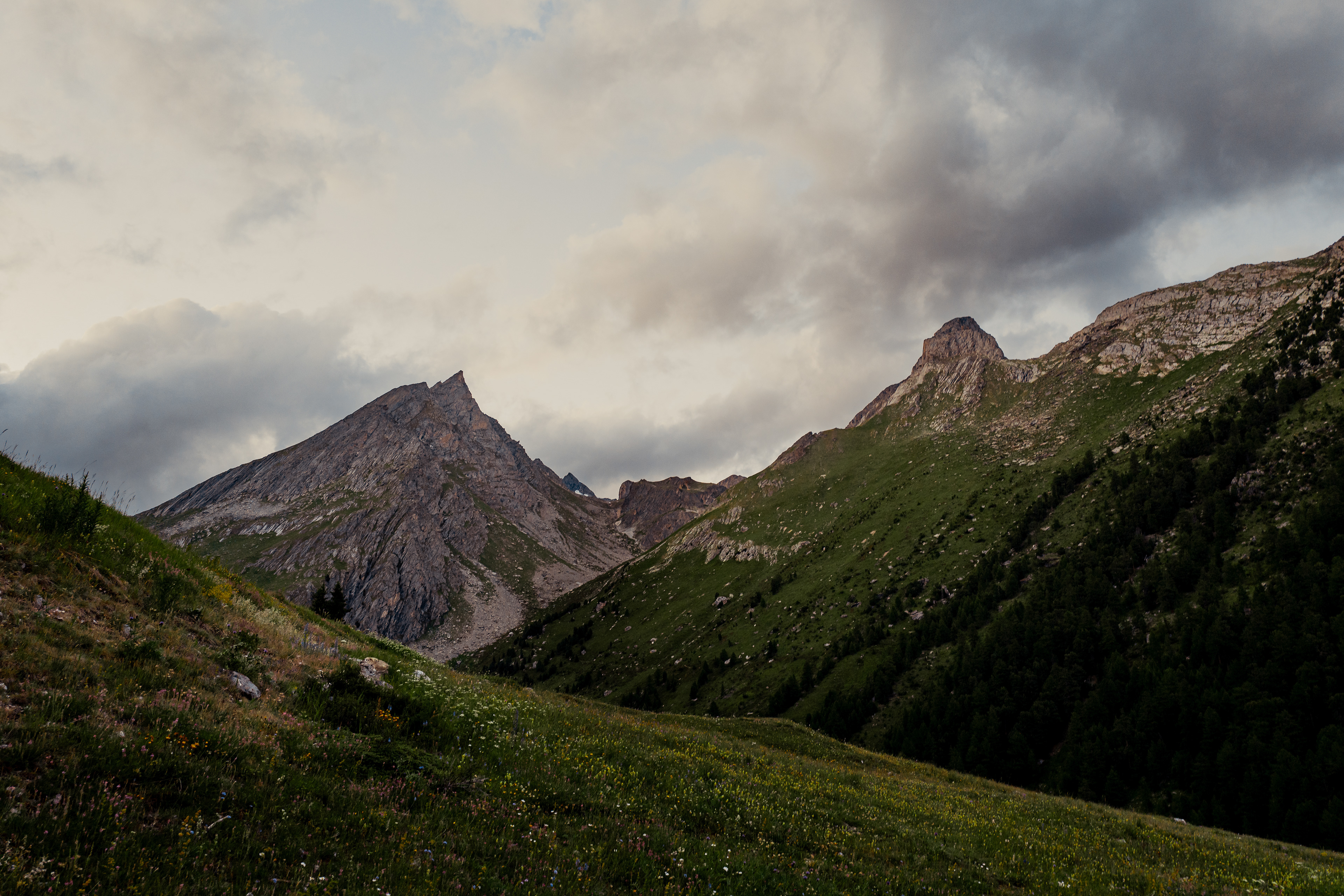
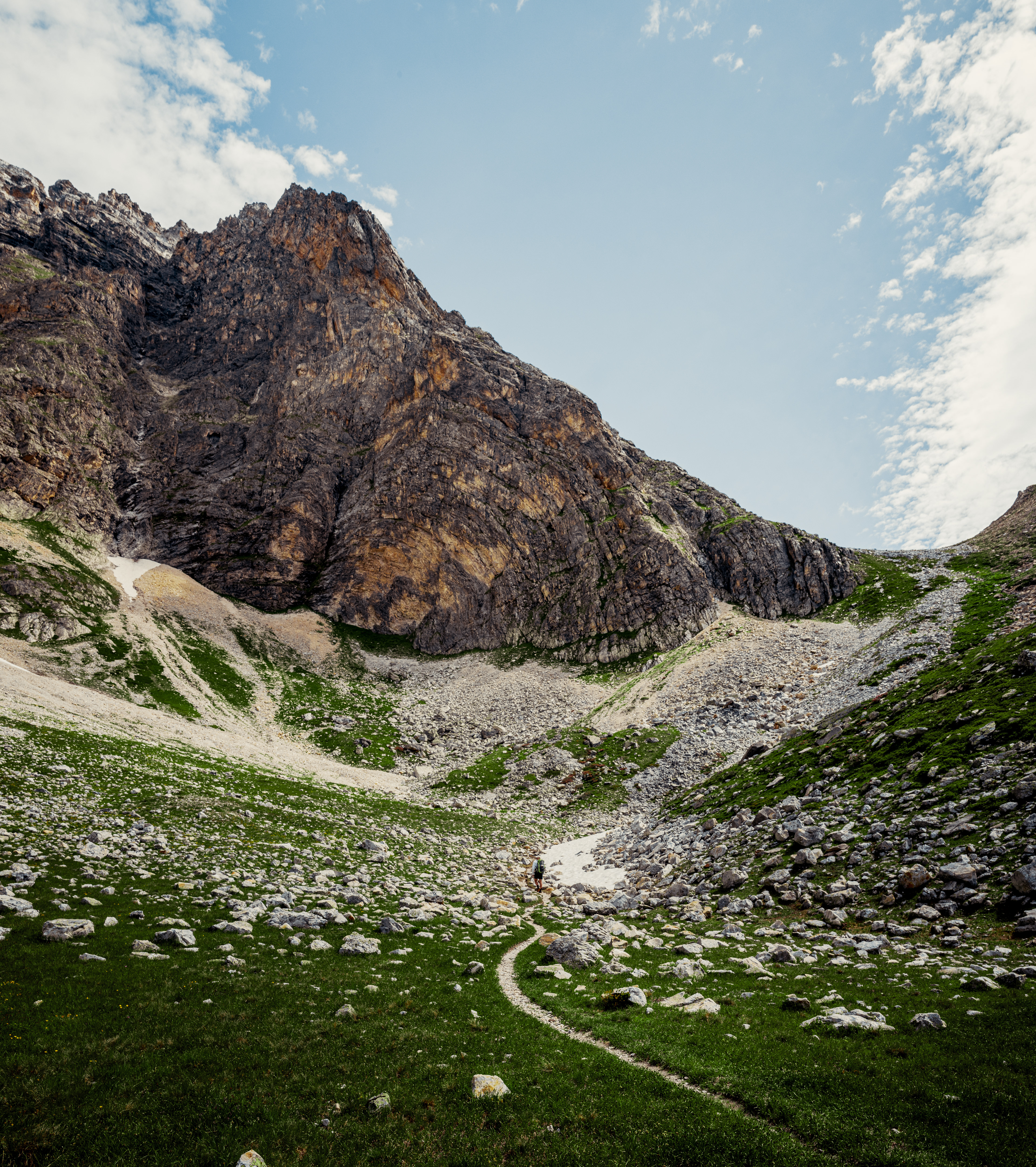
the route
The hike mostly follows the GR55 between Modane and Tignes, with some challenging adaptations. In total, the route is 61km long and has 4275 vertical meters. With multiple refuges along the way, sleeping places are very flexible. The starting point, Modane, is an 8 hour drive.
DAY 0
We departed early in the morning, hoping to start the hike the same day. At four in the afternoon we arrived in Modane.
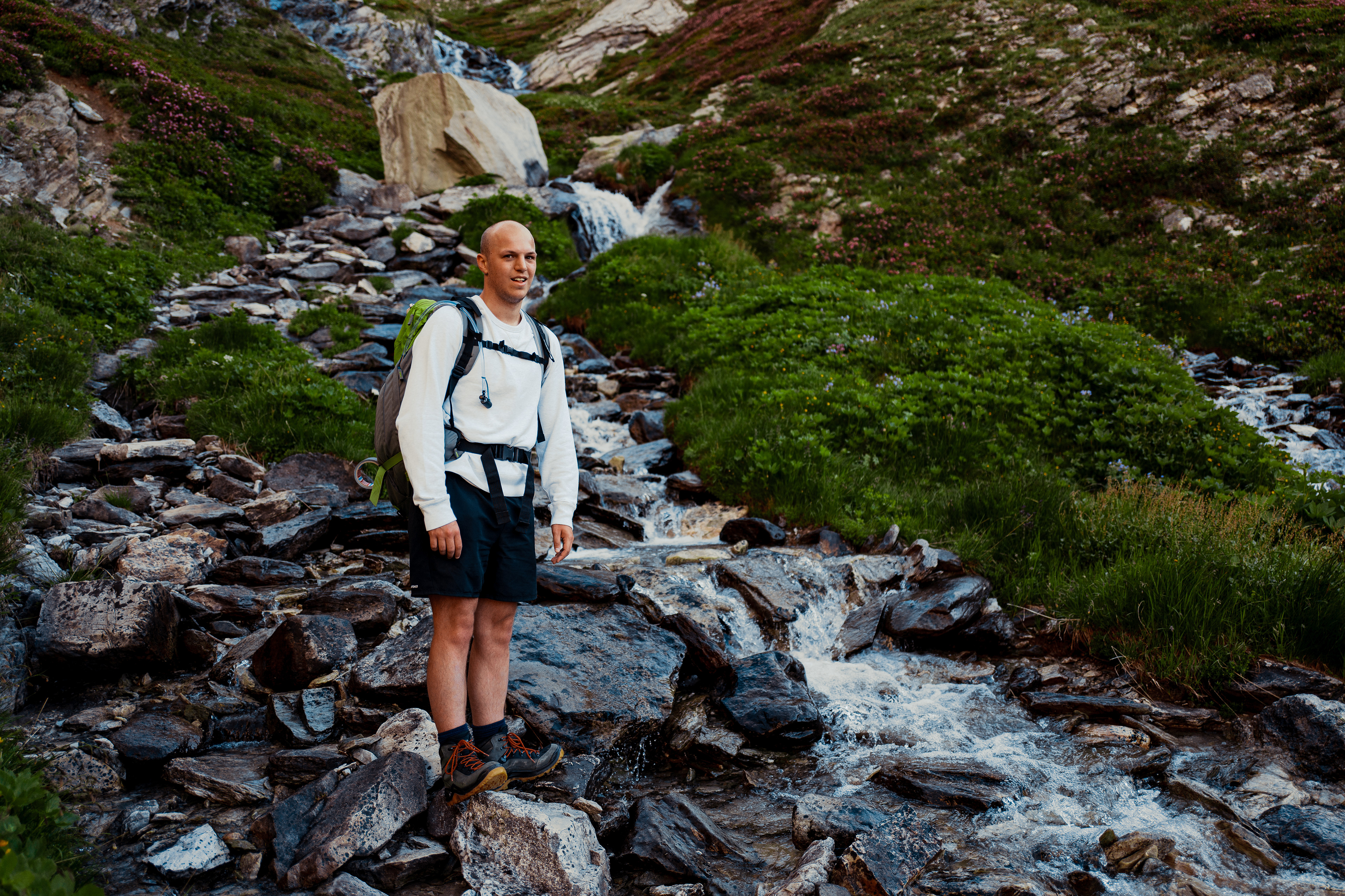
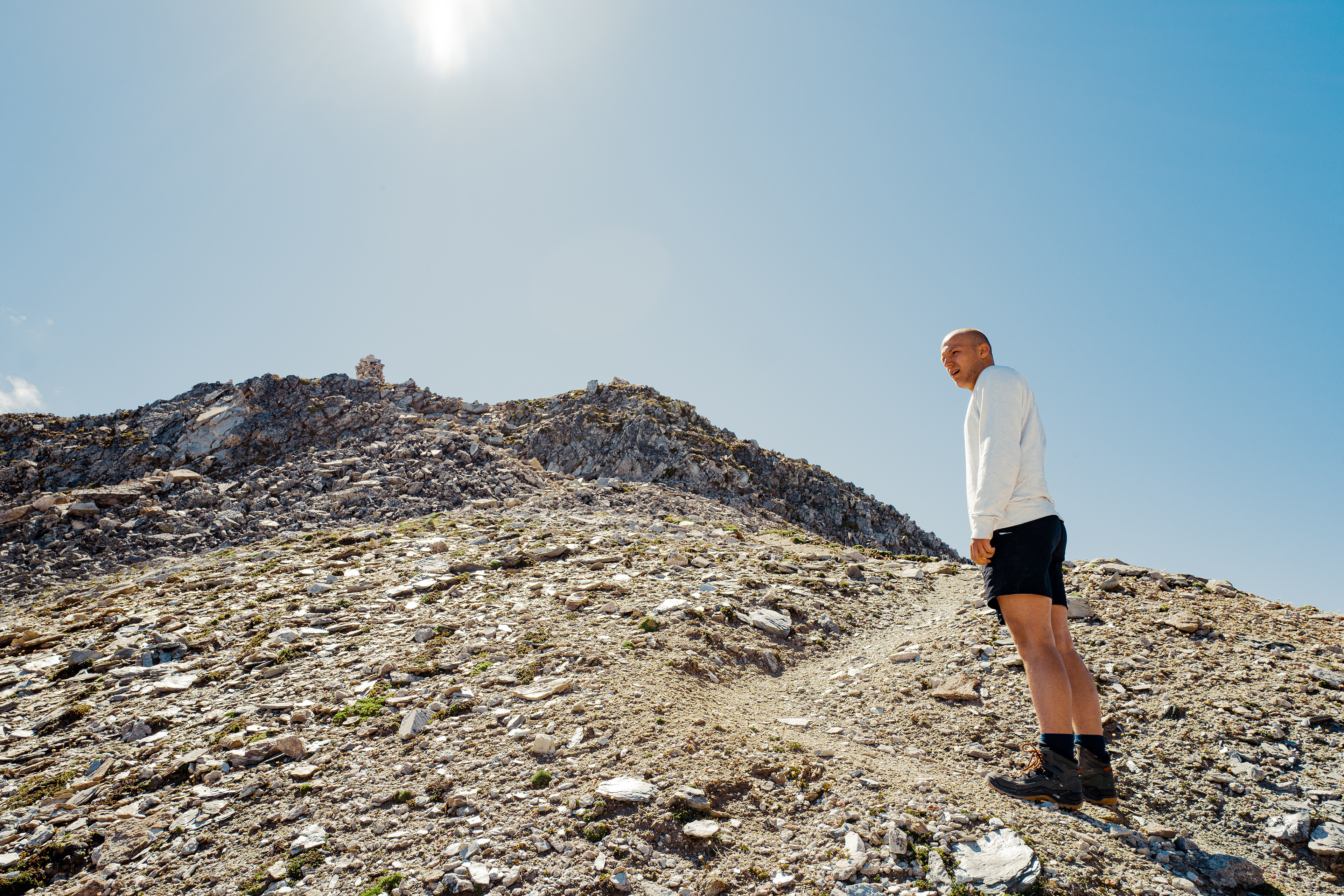
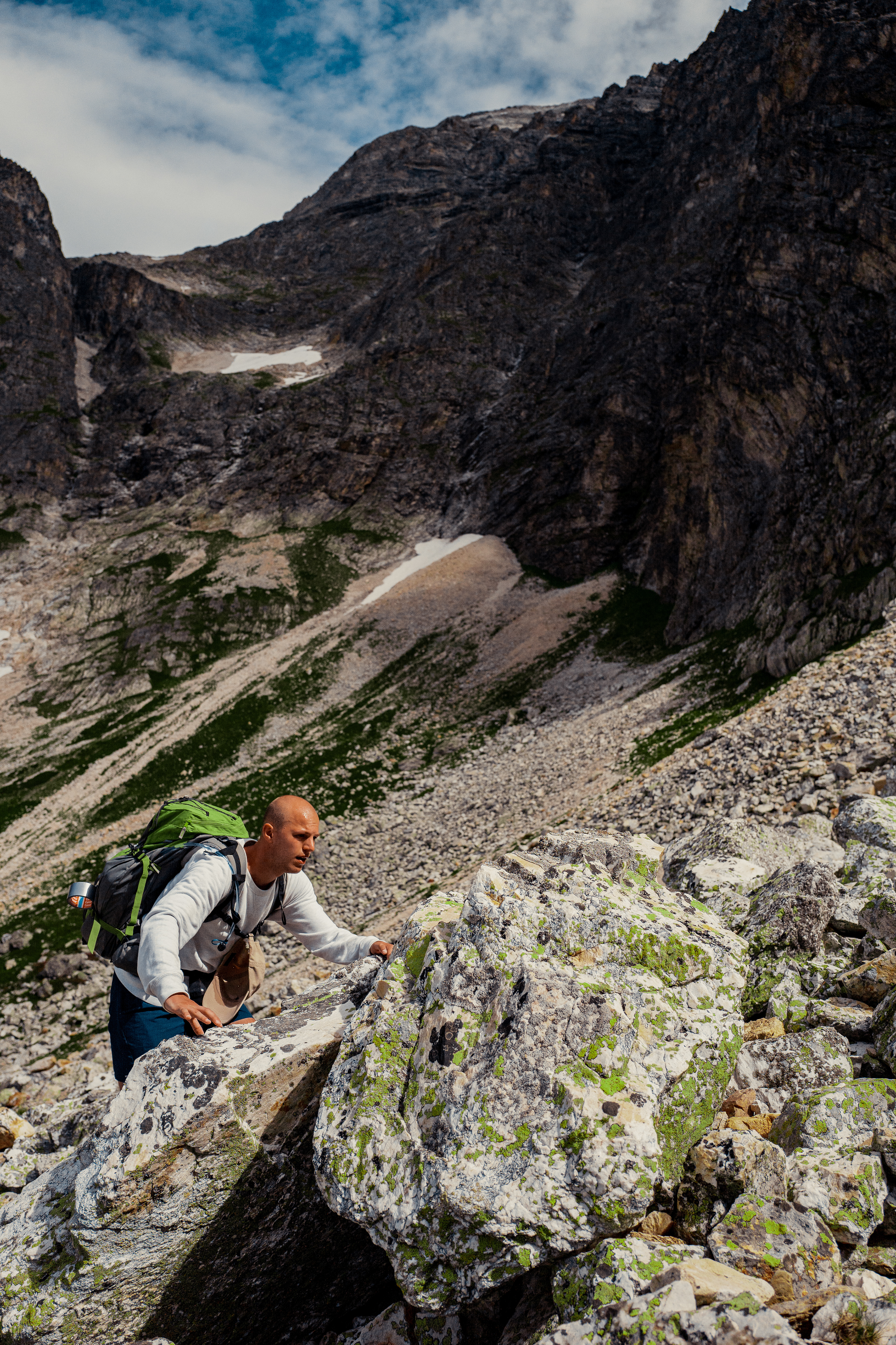
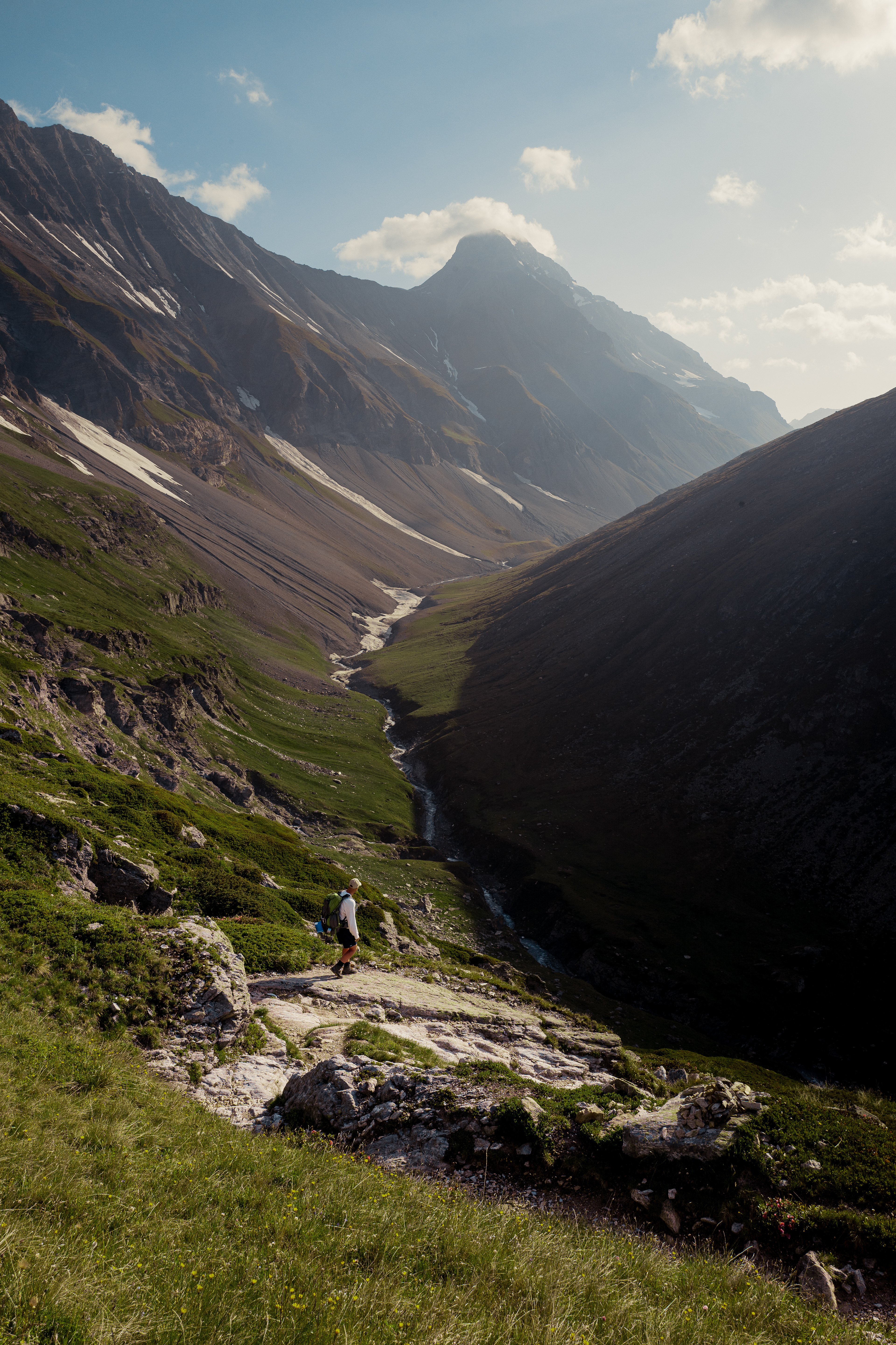
With our backpacks prepared the day before, we put on our hiking boots and started the ascent. The first ascent was a 600m climb. The estimated time for the ascent was 2 hours, but the heat and the unexpected steepness of the hill made us suffer for longer. This short ascend turned out to be the hardest ascent of the whole route.
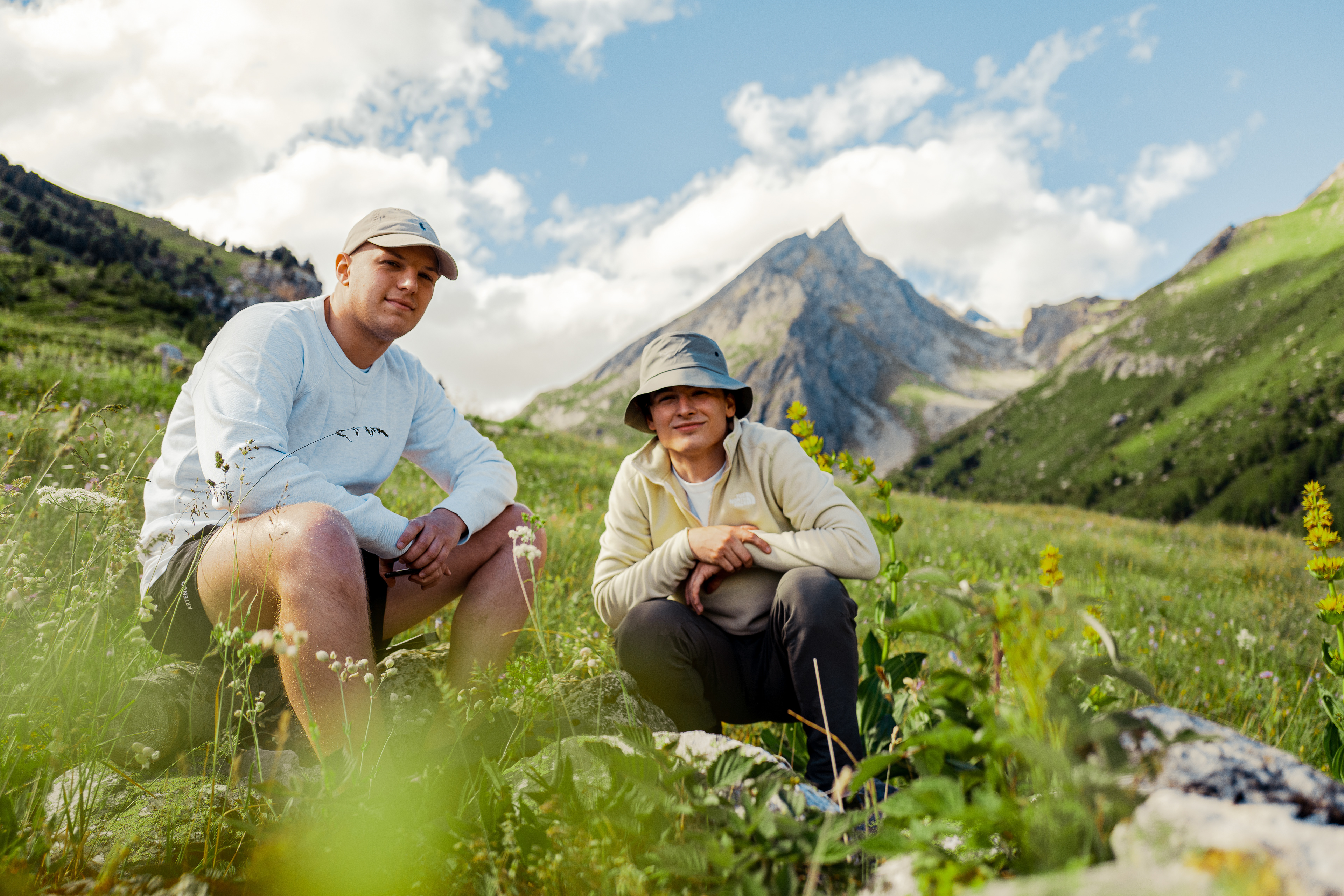
Hannes Verfaillie
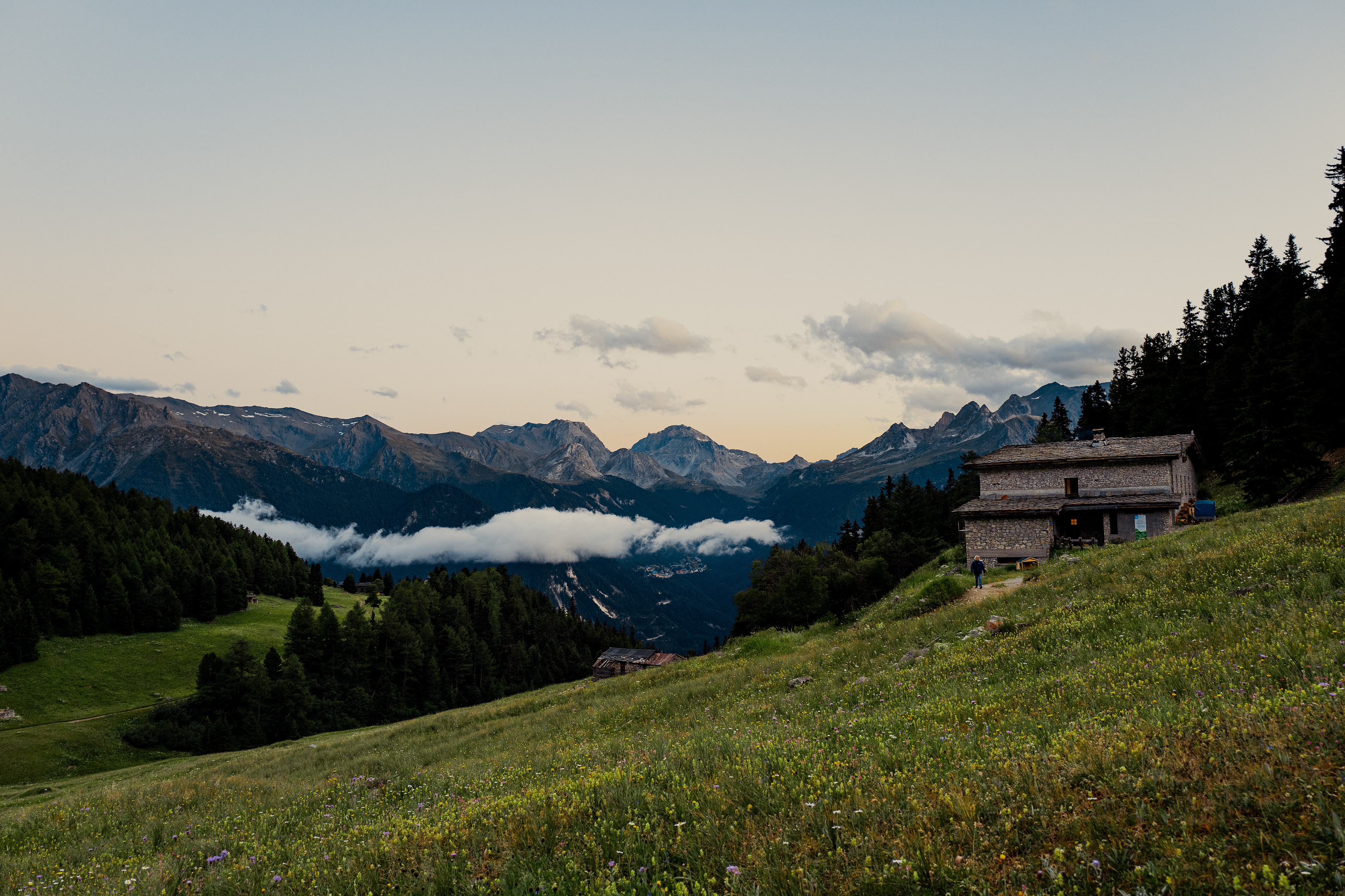
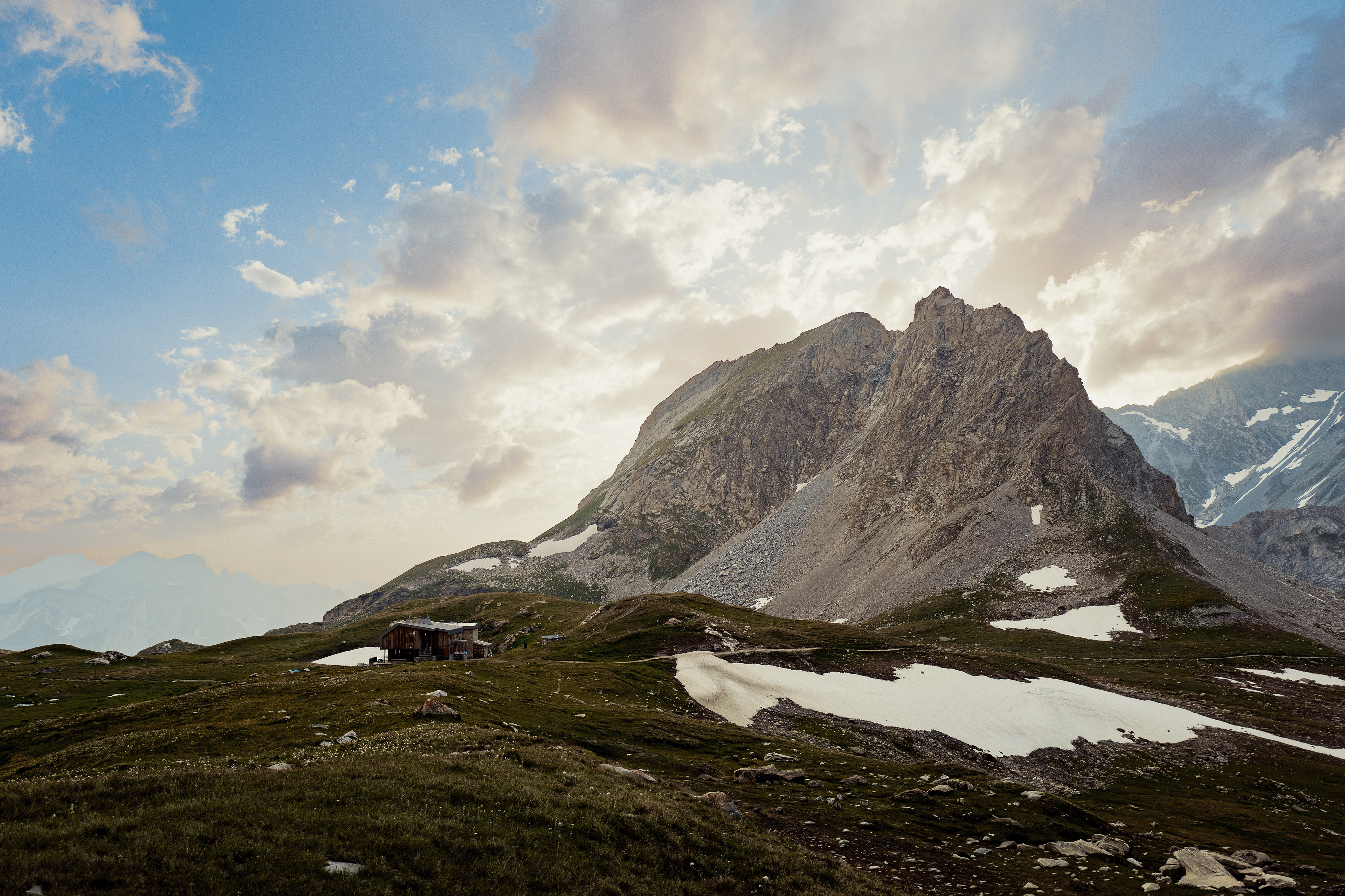
The first refuge
DAY 1
The first complete day started with a steep climb next to a waterfall. An easier route was available the scenic route was chosen. After all, the hardest part of the route was already behind us so we thought "why not?"
We started the day at 7:30 after eating the driest oatmeal ever. An hour later, the first stage of the ascend was completed. We could rest a little bit as the following part was mostly flat. In total we would climb 950 vertical meters that day.
the first stage
the middle stage

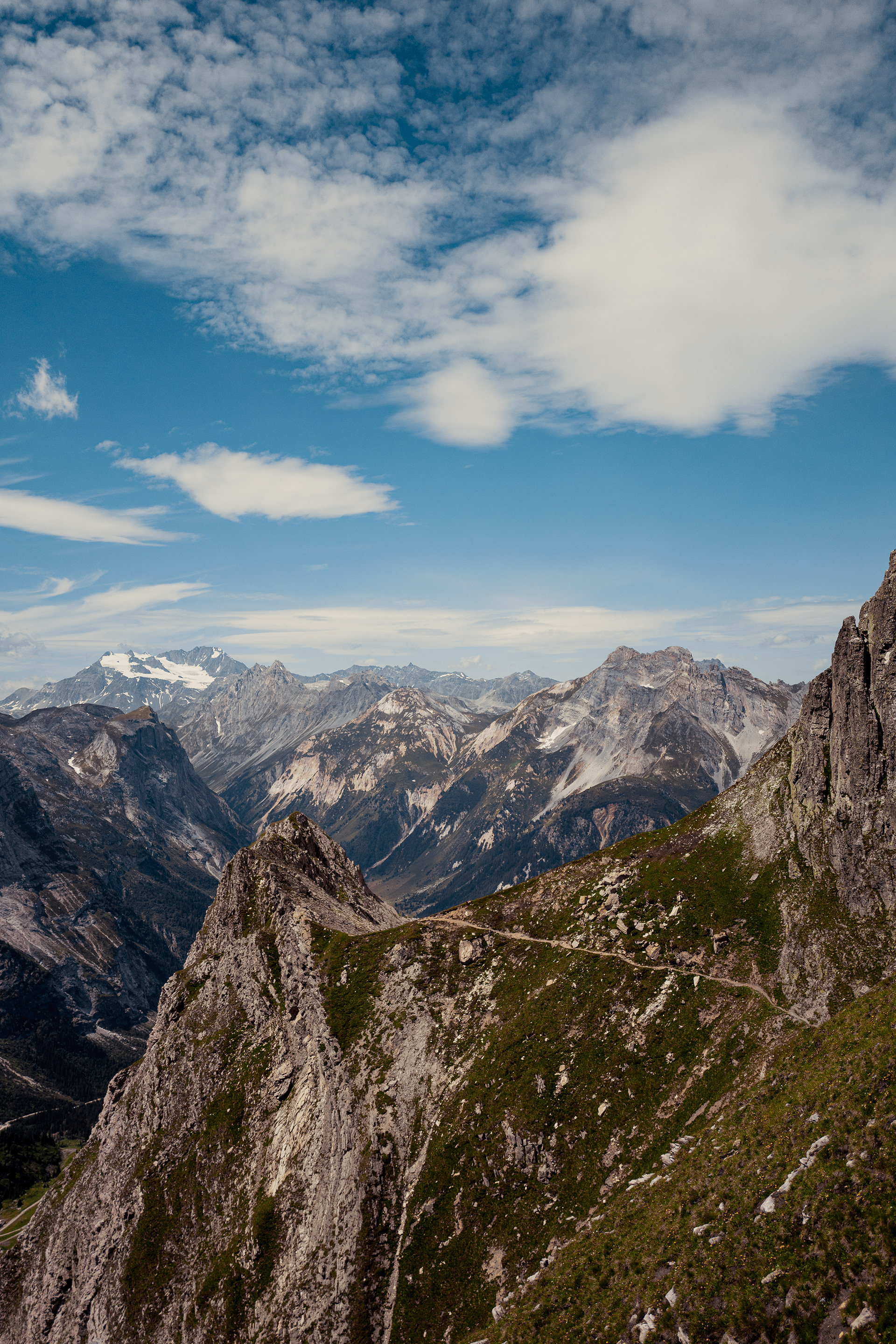
the start of the third stage
the third stage, heading towards Col de Chavière
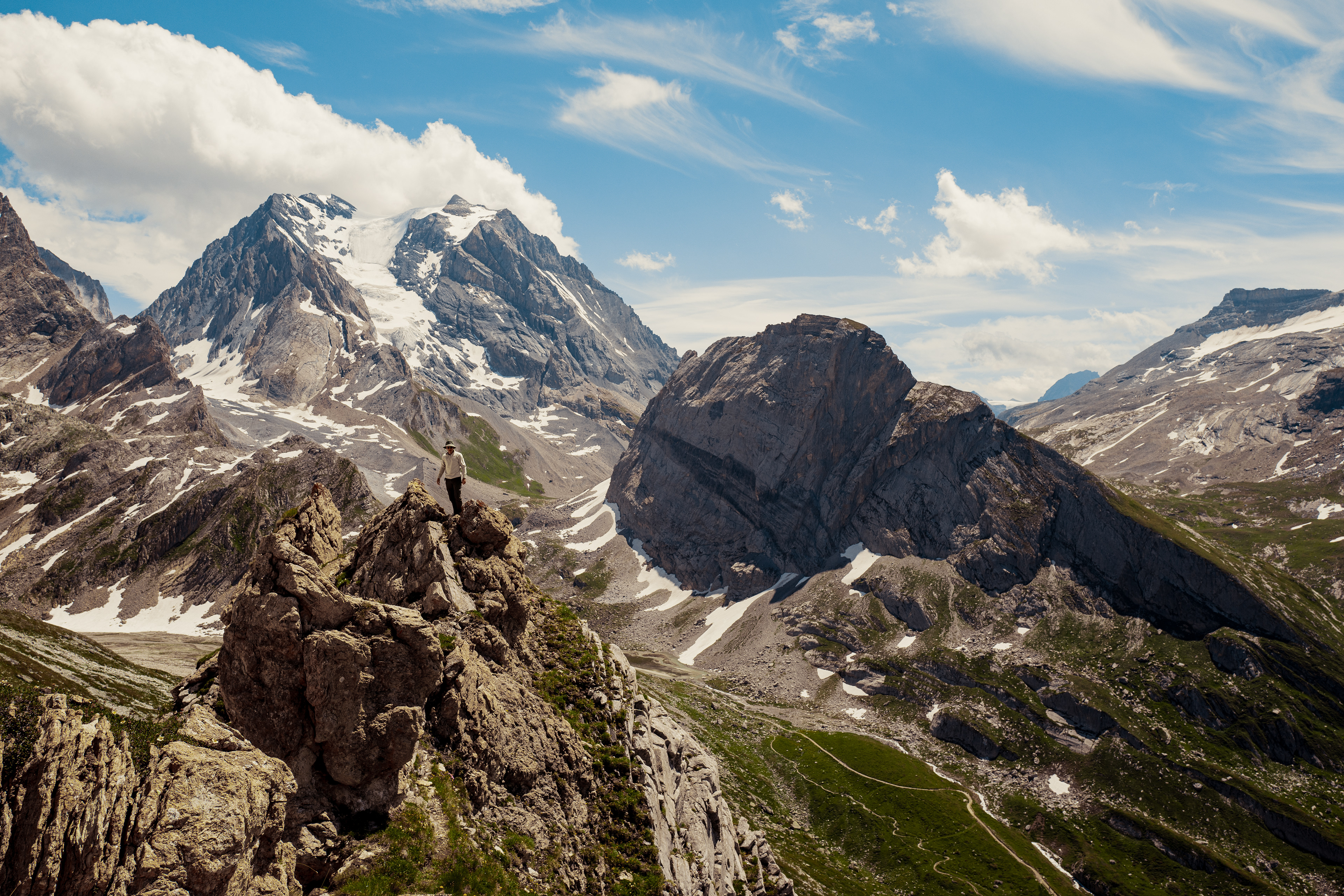
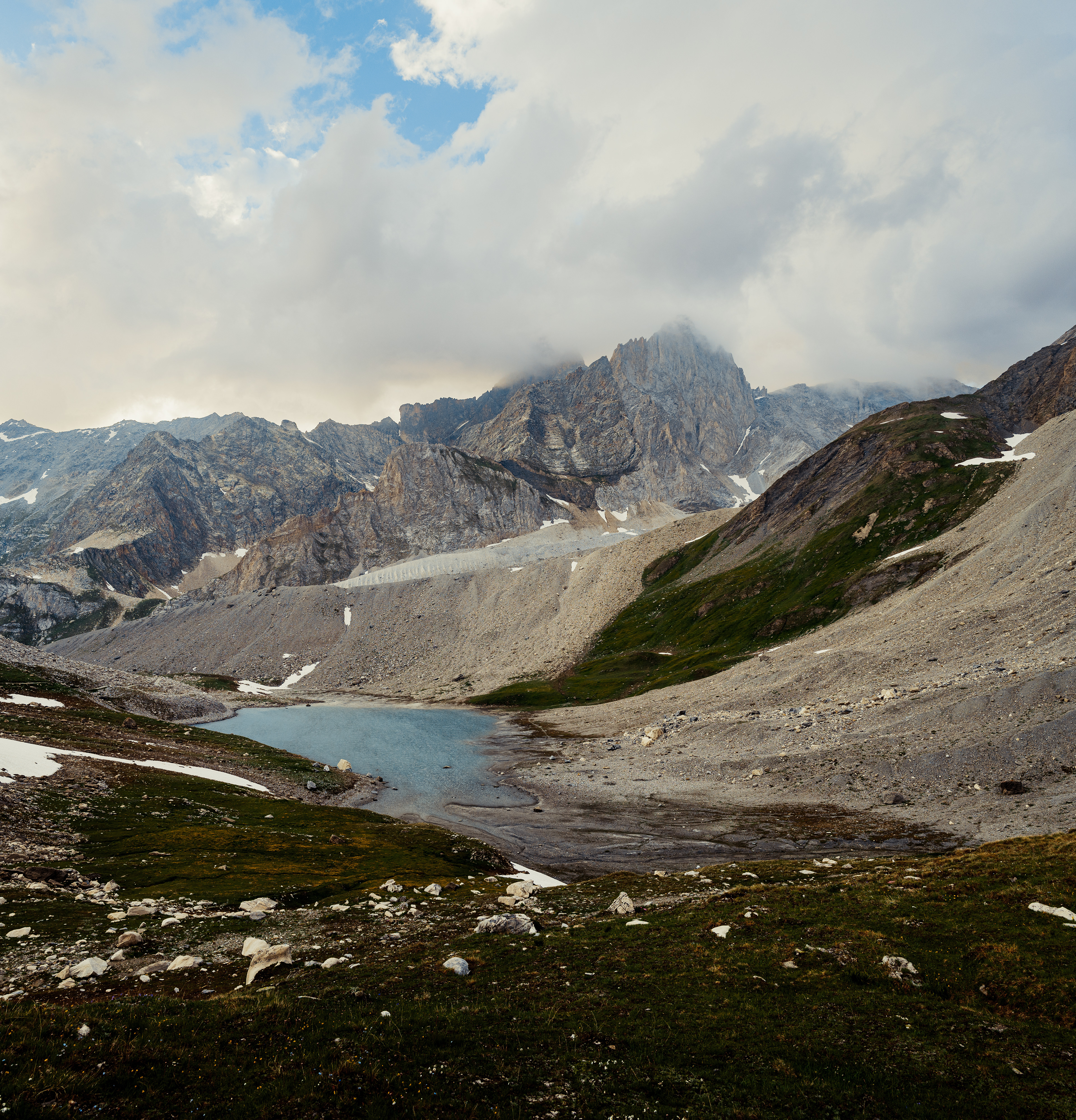
Col de Chavière

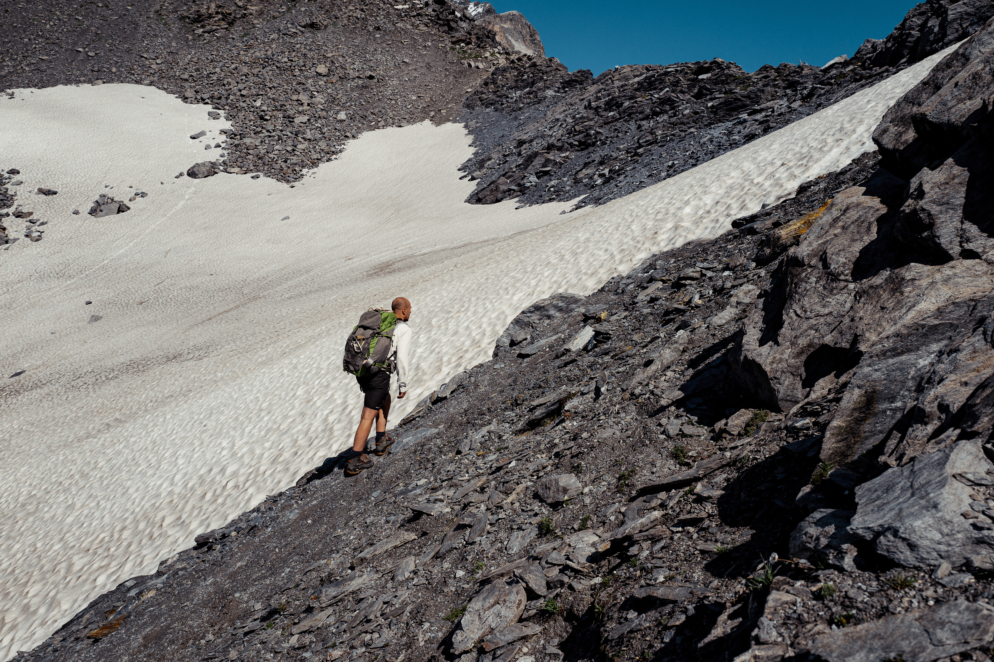
The second and last stage of the ascend, heading towards Col de Chavière at 2740m, was on loose rock. The closer to the col the steeper the terrain. Patches of snow started showing up and the loose rock made the path almost invisible. Eventually we did get to the top. It was worth the effort as the view was amazing.

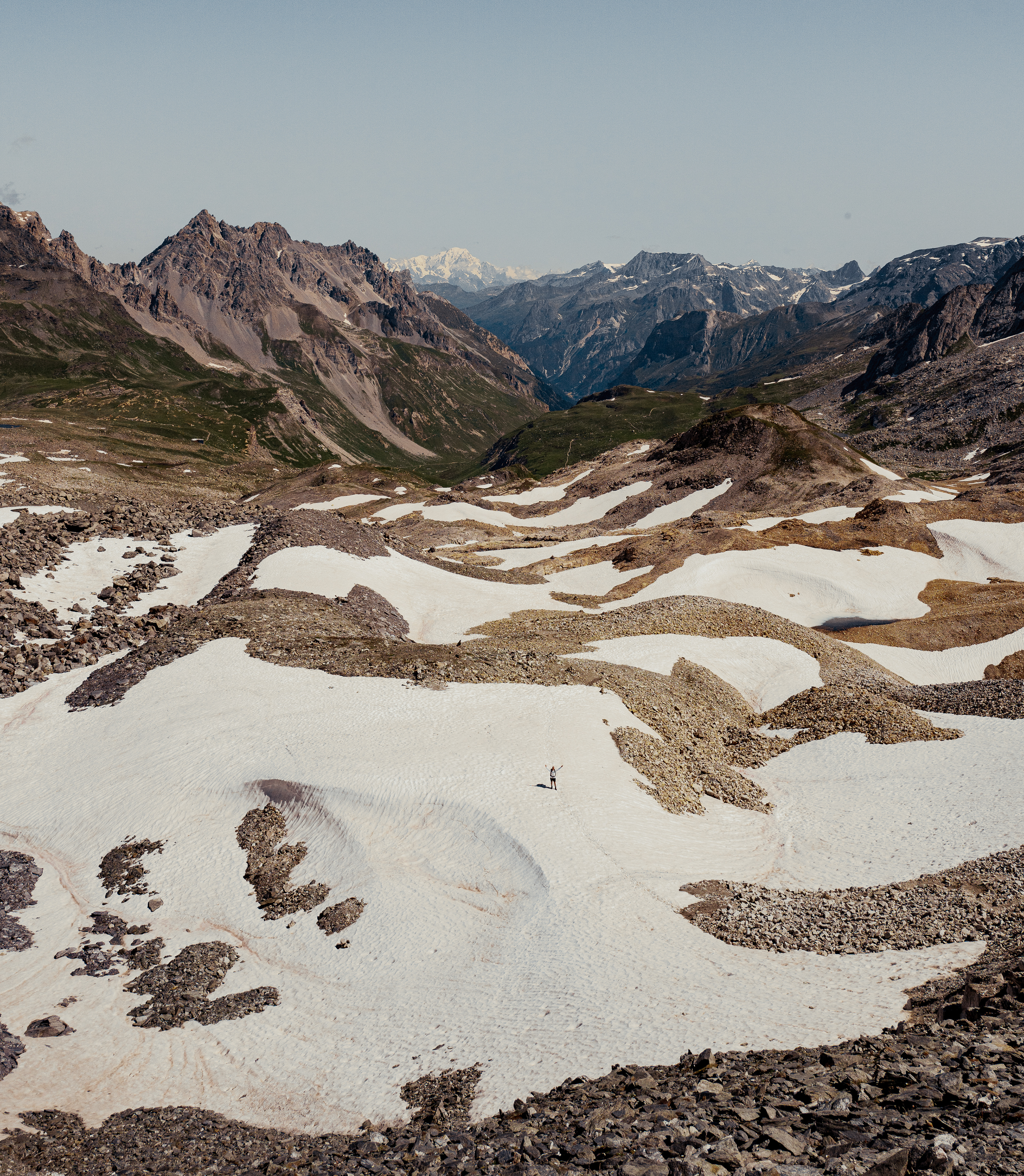
Hannes in the snow
After eating something in Refuge Péclet Polset. We started the long and slow descent in through the valley on our way to les Prioux. Arriving in les Prioux somewhat earlier than expected we decided to keep on going.
We ultimately choose to sleep in Pralognan after walking 26 kilometers that day.
DAY 2
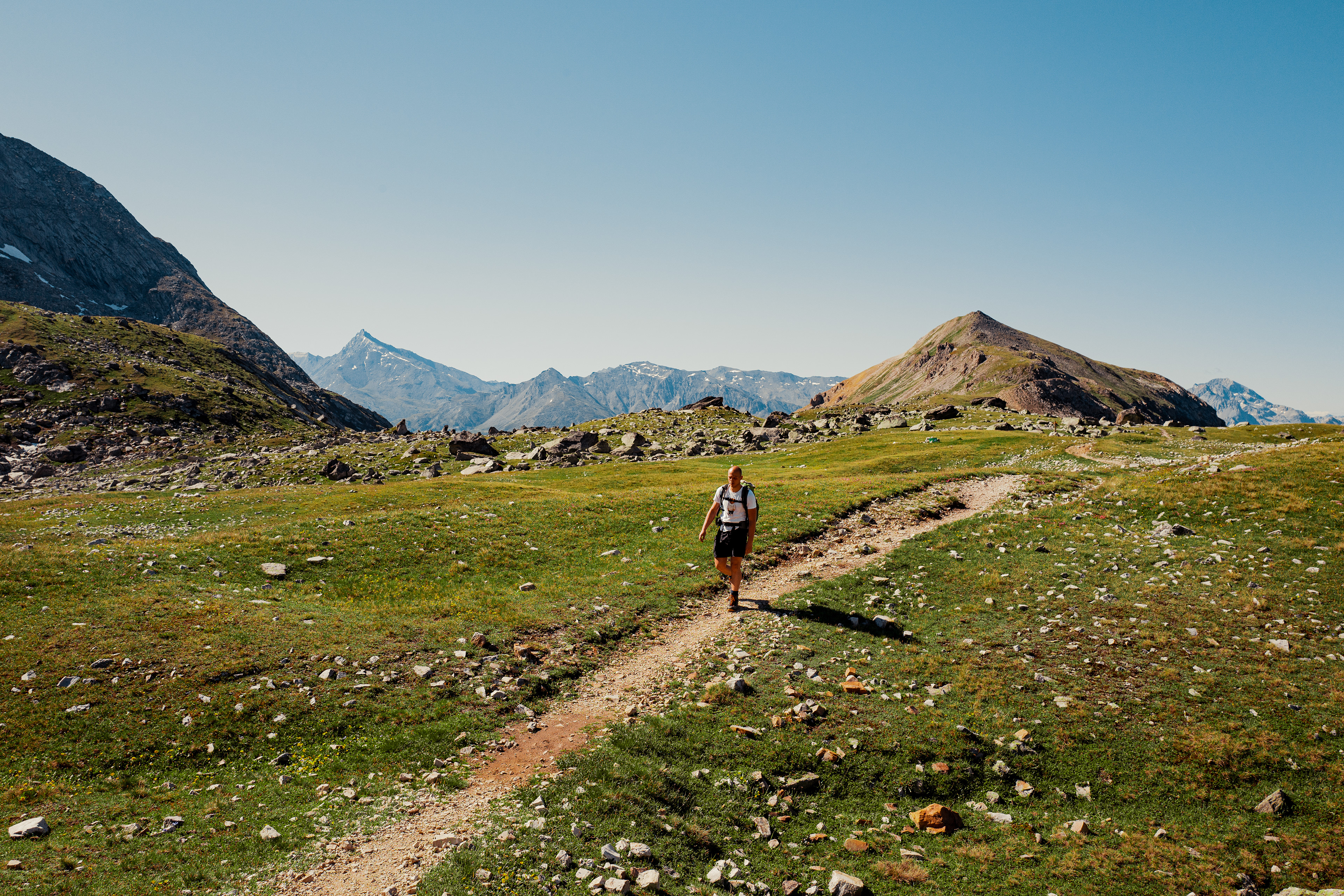
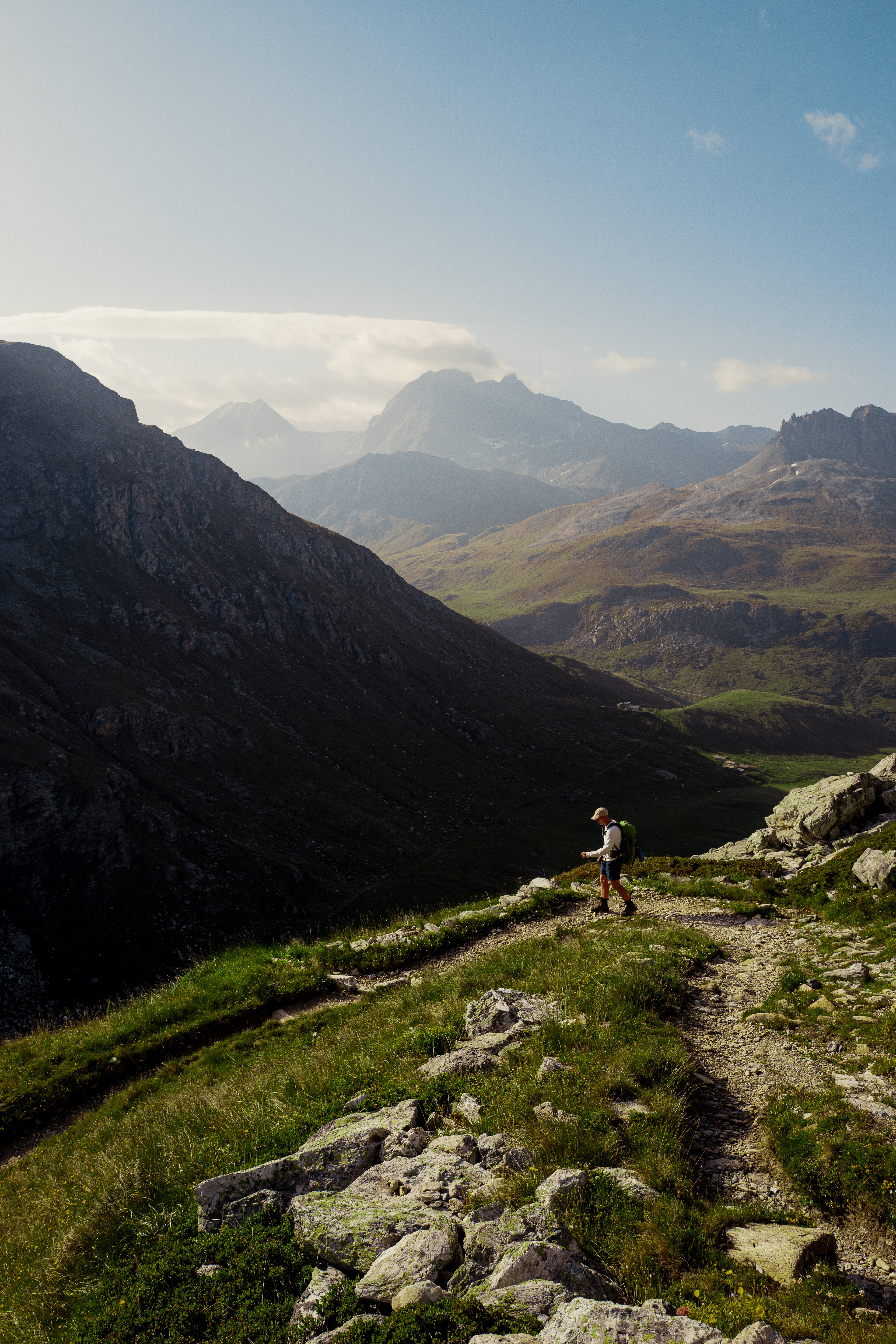
After a good sleep we had breakfast and left Prolagnon. This day would be the heaviest as we would be climbing 1600 vertical meters. For the first 4 kilometers we follow the GR55. A cable car arrives at refuge des Barmettes and quite a lot of people walk the main route from there during the weekends. We however ascend a steeph path over several cols, arriving 600m above the main route.
Col Noire on the right of the cliff.
Climbing Col Noire
Col Noire
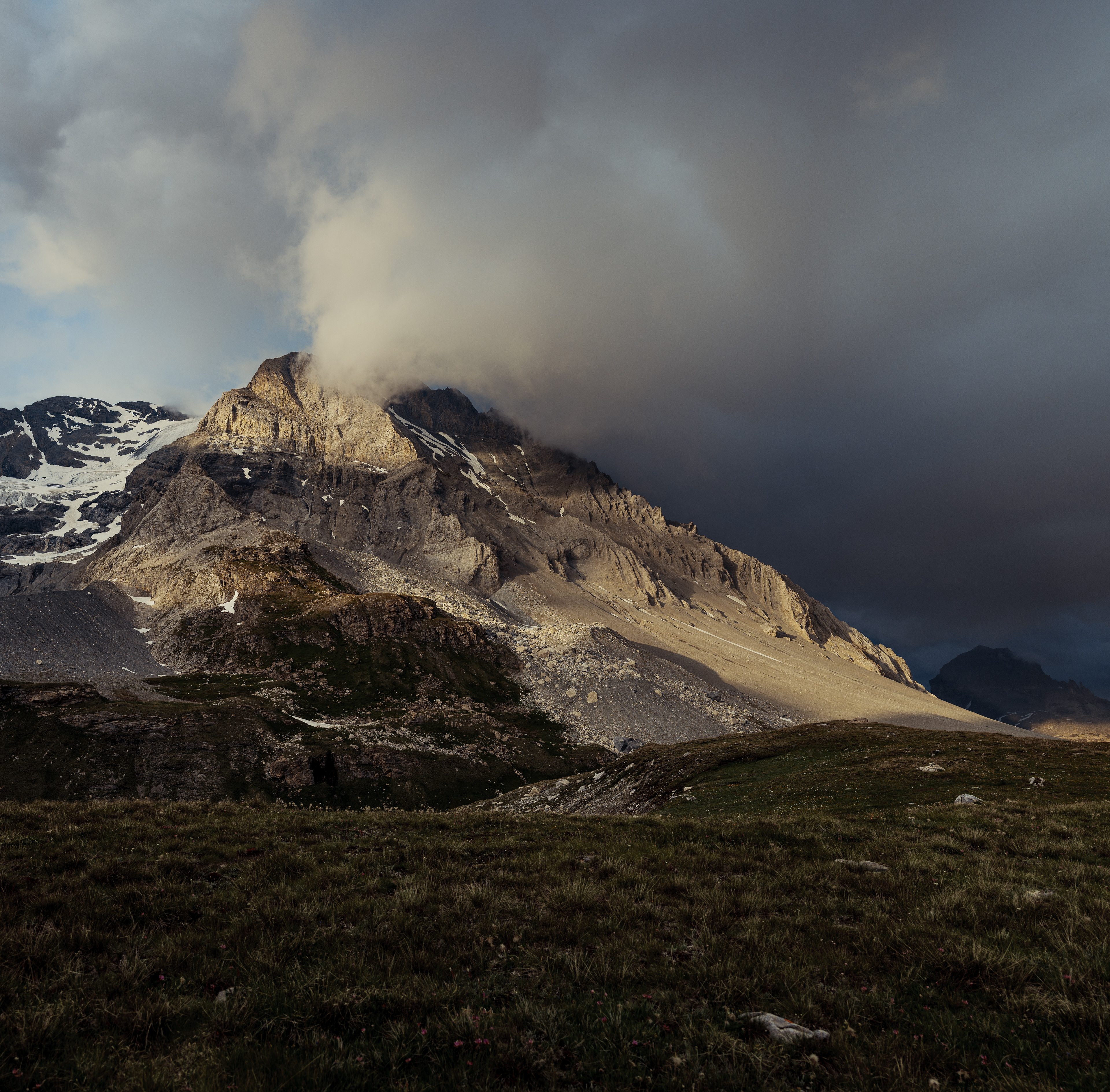
Col Rosset
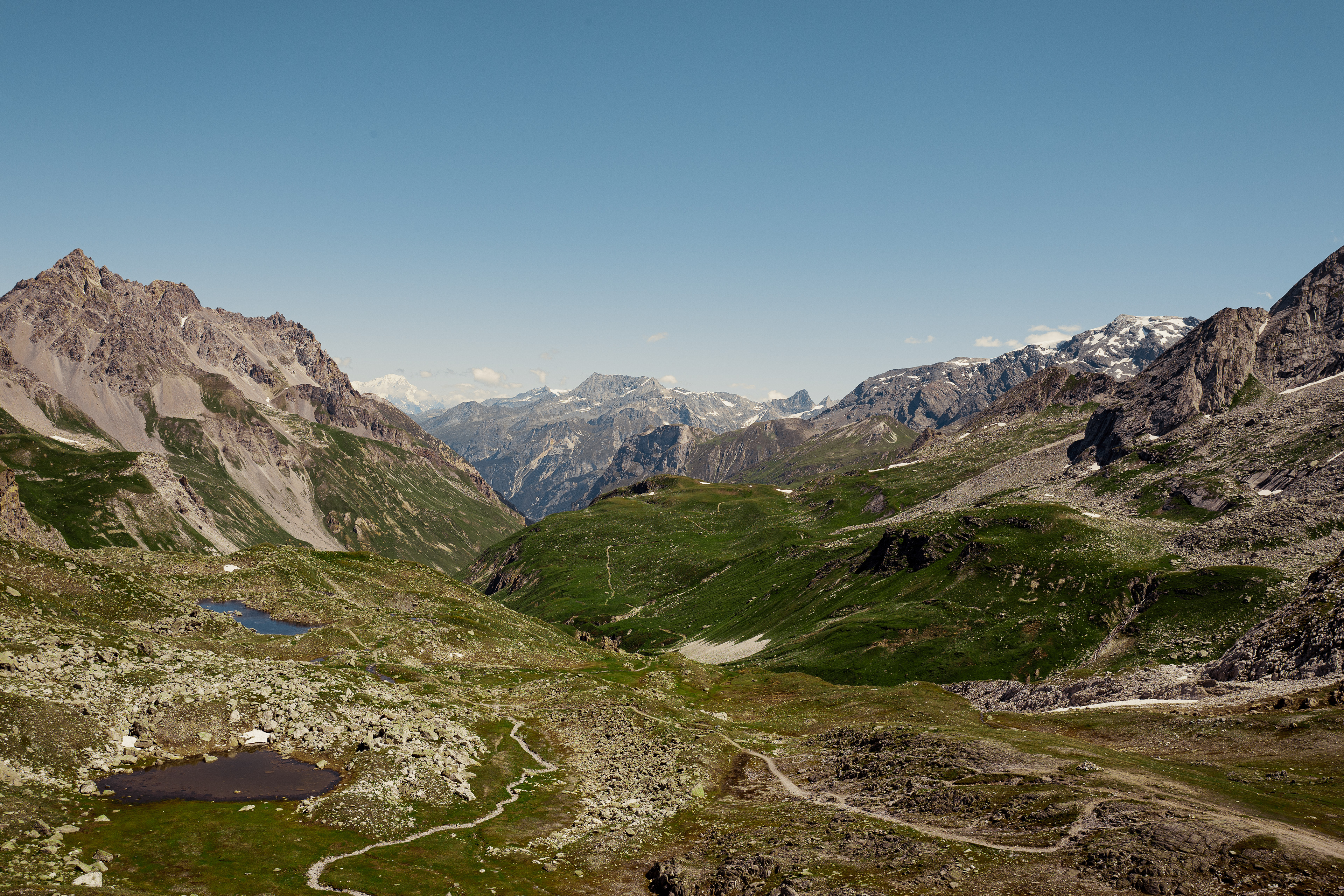
After crossing Col Noire, the path transforms into a small path traversing a steep face between two cols. The highest point of that day, Col Rosset, is reached at midday. A scenic place, with cliff's on all sides.
A local we met on the route told us it's normally full of ibexes on this part of the mountain.
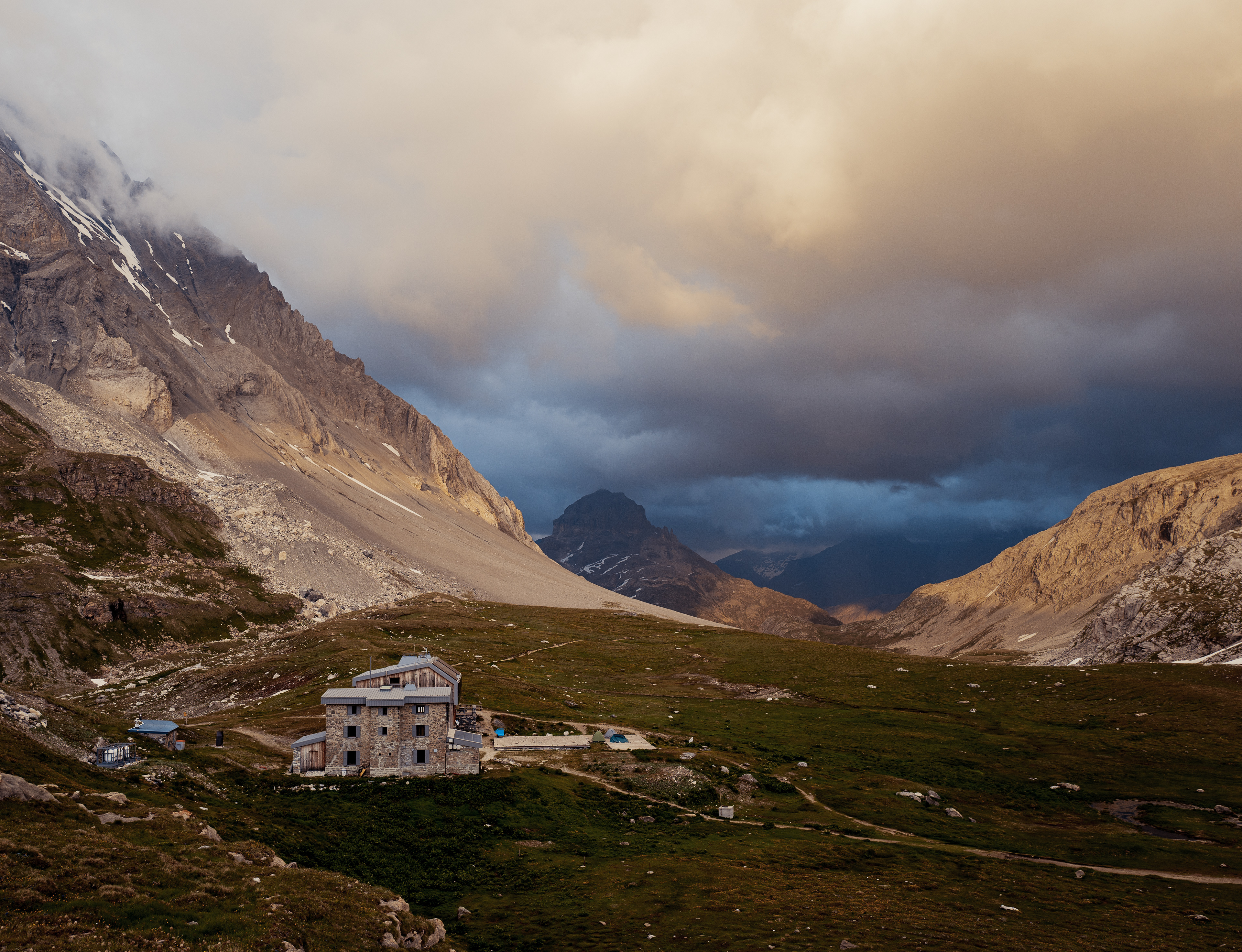
After taking a detour to see Lac Patinoire and Lac dess Vaches, we climb another 400 meters to finally arrive in Col de la Vanoise. The refuge is a starting point for a lot of mountaineering routes. The views are astonishing.


DAY 3
The next morning we get up early. Rain should be on the way, but without phone service we don't know. At the moment nothing points to rain. The sky is blue and the sun is rising. This is not to be trusted however, as the weather can turn in 10 minutes in the alps.
We start the hike through the col and quickly start descending to the valley of the Leisse. as we descend the temperature quickly rises. We normally booked the night in refuge Entre Deux Eaux, but we arrive at 8:30 in the morning. We decide to move on to hopefully finish in Tignes before the rain arrives.
Descending to the Leisse, the river in the valley below.
Descending to valley of the Leisse.
To get in tignes we have to cross the Col de la Leisse. It's a steady and creeping climb of 700 vertical meters. After getting a little bit too hot a decide to cool off in the river. Once we arrive in Tignes it suddenly starts pourring down. We just managed to outrun the rain.